
For my overlay, I used an old map of Loudon County dating back to 1860. The county lines are extremely close to what they are presently, and so is the location of the Potomac River, which is only visibly off on the far right side of the map. As for downloading and accessing Google Earth, the process took a long time since Google wants you to download Chrome along with Earth, which isn’t something I wanted to do, so I spent a lot of time trying to get around that. The actual placing of the map onto Earth was easy enough, and even kind of fun lining up the corners and finding the right map to use.
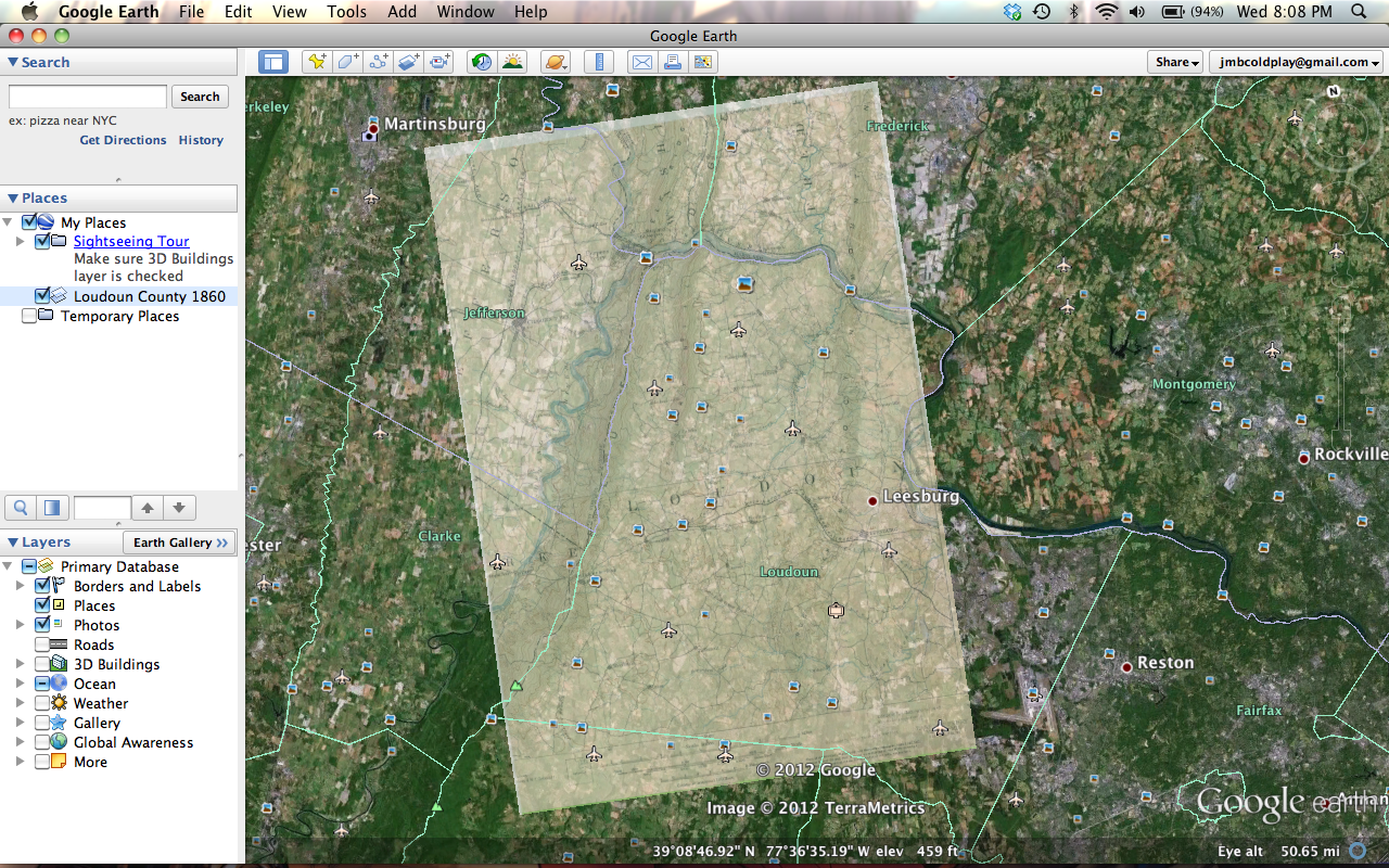
Getting the map into this post was a pain though. I don’t know how to embed my Google Earth places onto my blog, so instead I had to just take a screenshot and put that in this post. You can clip on the image to get a bigger (and better) view of it.